


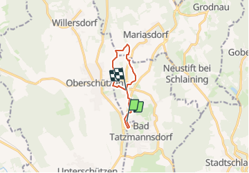

6,7 km | 9 km-effort


Tous les sentiers balisés d’Europe GUIDE+


Aplicación GPS de excursión GRATIS
 SityTrail
IGN / Institutos geográficos
SityTrail World
El mundo es suyo
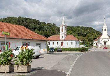
Ruta A pie de 6,8 km a descubrir en Burgenland, Bezirk Oberwart, Bad Tatzmannsdorf. Esta ruta ha sido propuesta por SityTrail - itinéraires balisés pédestres.
Trail created by Lauf und Walkingarena Bad Tatzmannsdorf http://www.laufarena.at/.
Symbol: Würfel auf Stange


A pie
A pie
A pie

A pie

A pie

A pie